Pump House Visualization
Photogrammetry Site Survey
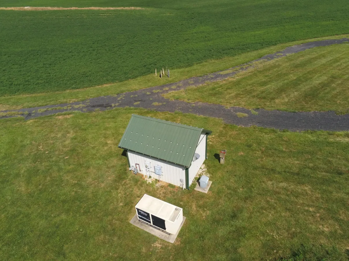
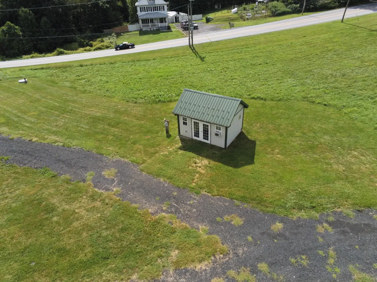
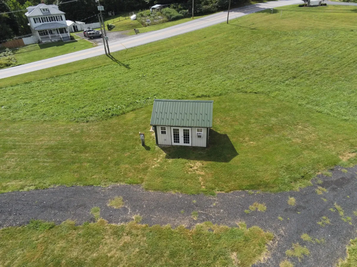
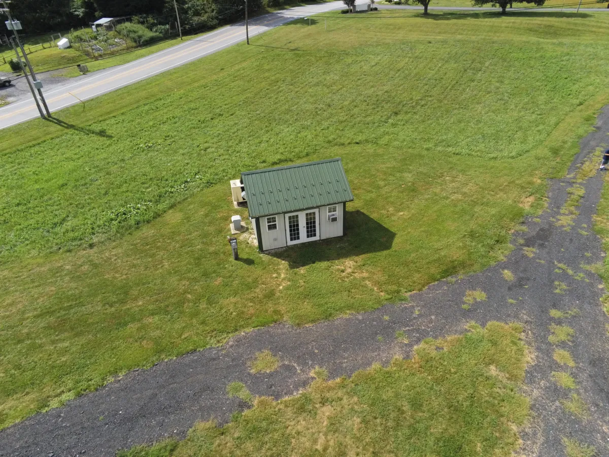
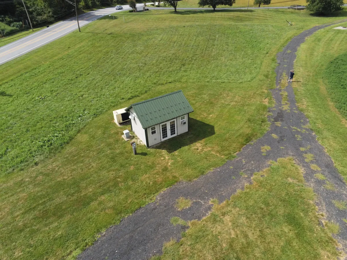
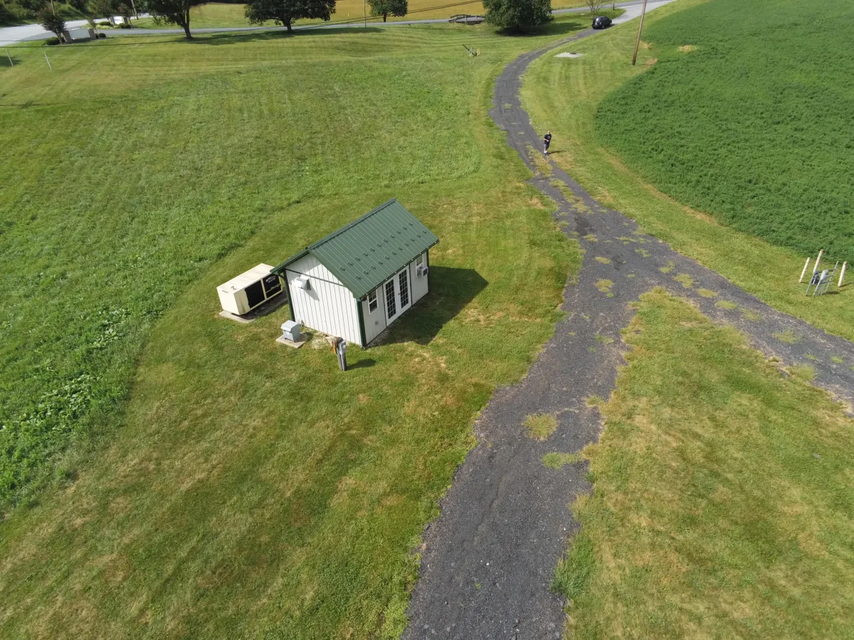
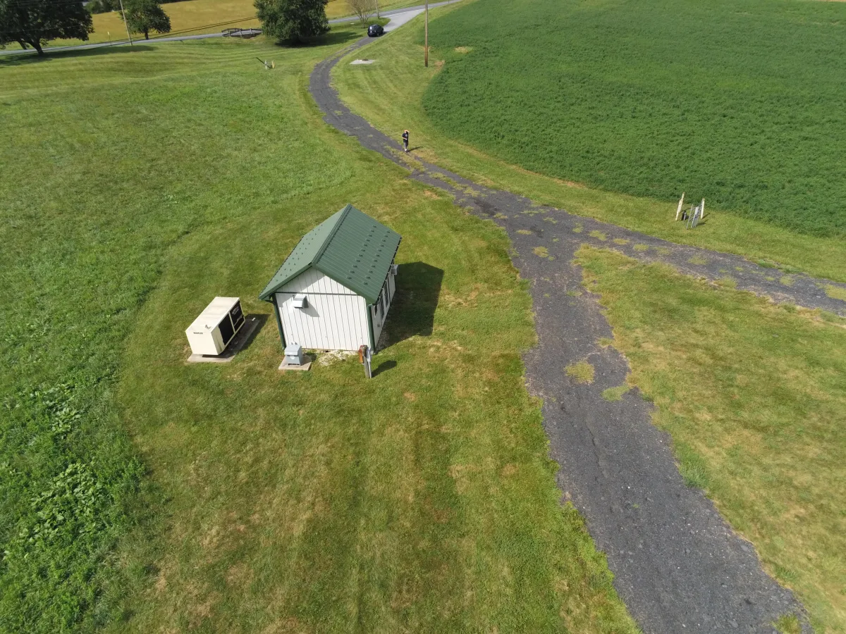
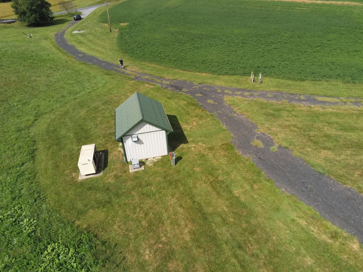
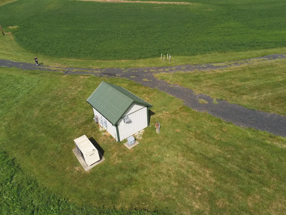
In this project, our studio utilized advanced photogrammetry techniques to conduct a comprehensive survey of a pump house location. Thanks to the help of Steven Lowther, we employed drone technology to capture high-resolution images from multiple angles to create a detailed 3D model of the site. This model proved invaluable for the planning and development team, providing them with an overview the site's topography and existing infrastructure. Photogrammetry surveys like this are crucial for utilities, municipalities, and builders because they enhance accuracy in project planning. This model can then be modified to begin planning the next stages for building concepts and site changes.
What is photogrammetry?
Photogrammetry is a technique for creating three-dimensional (3D) models or maps from two-dimensional (2D) photographs. This process involves capturing images from multiple angles and using software to analyze the pictures to determine the depth and dimensions of the subject. The resulting data can be used to construct detailed, accurate 3D representations of physical objects, environments, or landscapes, useful in various applications such as surveying, architecture, engineering, and entertainment.
Why use photogrammetry?
Photogrammetry is an invaluable tool in many fields because it provides a detailed and accurate way to measure and visualize spaces and objects. For instance, using a drone to take aerial photos of a property, photogrammetry can generate a 3D model of the area. This model helps business owners and planners see the layout and features of the space with clarity, aiding in more informed decision-making. It's especially beneficial for planning construction projects or renovations, as it ensures all dimensions and spatial relationships are understood before physical work begins. This technology not only saves time and resources but also minimizes the risk of errors during the execution phase.


Facebook
Instagram
LinkedIn
X